EUDRx Go: Expanding Deforestation Insights with Detailed Assessment and Reporting
🗓️ Tuesday, 29 September, 2026
🕙 10:00 – 10:30 CEST
As regulatory and voluntary no-deforestation requirements become more demanding, companies need more than fast screening alone. Automated checks are essential for scale, but when production plot geolocations pose a potential deforestation risk through automated checks, organizations might request a second option or need clearer evidence to understand land history and support confident decisions.
Join GRAS for a 30-minute webinar on 29 Sept 2026 to learn how a GRAS Detailed Assessment helps turn geolocations – classified as high-risk for deforestation due to their overlap with satellite-based automated deforestation alert systems – into evidence-based deforestation decisions. The webinar will show how GRAS builds on automated assessment results with an additional in-depth analysis, combining visual interpretation of satellite imagery with vegetation index time-series analysis to clarify whether production plots meet no-deforestation requirements. In addition to the reliability, the assessment results serve as transparent evidence for your risk mitigation measures.
This session will explain when a Detailed Assessment is needed, how to request it, and where it adds value for EUDR compliance, ESG reporting, RED III-related needs, and broader no-deforestation commitments.
Attendees will gain a practical understanding of the role of expert review in deforestation due diligence and reporting, and how GRAS supports organizations that need robust, science-based evidence.
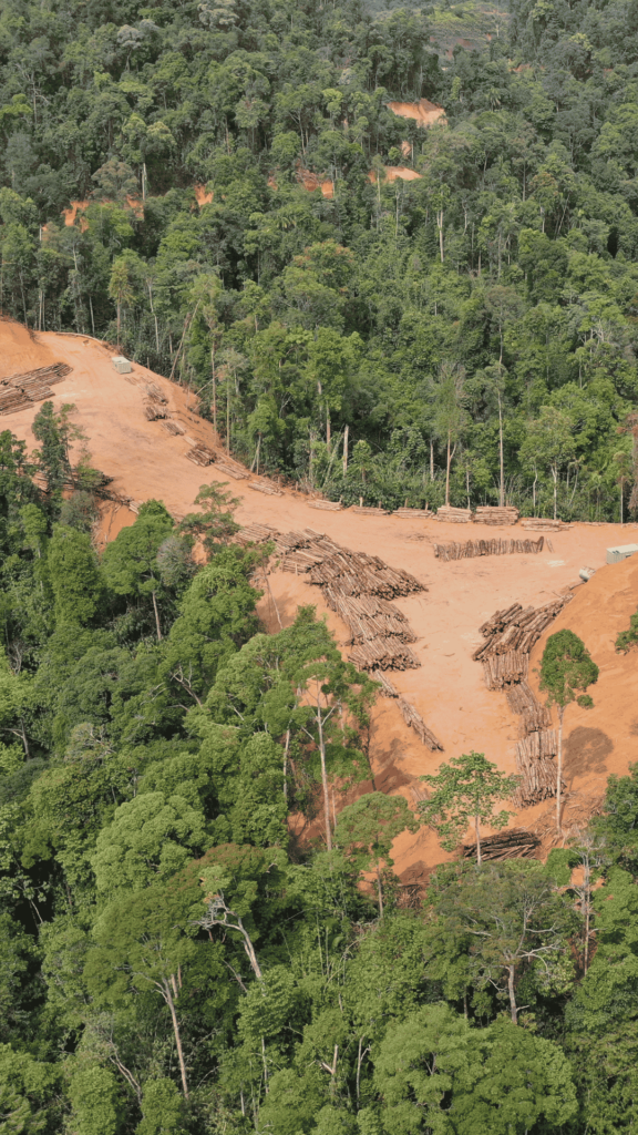
Image credit: Canva
Key takeaway: The session is designed to help organisations move from deforestation risk flags to clearer, defensible decisions using expert-led deforestation assessment and reporting.
What the Webinar Will Cover
- About GRAS and our remote sensing expertise
- Why market demand for evidence-based deforestation assessment is increasing
- The difference between automated screening and Detailed Assessment
- How the Detailed Assessment works in practice for geolocations that pose a high risk for deforestation
- How GRAS supports no-deforestation commitments, EUDR, RED III, and ESG-related needs
- What additional evidence may be needed if satellite data alone is not conclusive
Who Should Attend
- Regulatory compliance and legal professionals
- ESG, CSR, and sustainability teams
- Procurement and sourcing professionals
- Supply chain operations teams
- Product, data, and governance functions