Land Use Change
The number of companies with zero-deforestation commitments is constantly growing
The leading cause of deforestation is agriculture taking place mainly in Southeast Asia, Latin America and Africa. Reducing land use change is crucial to reduce the effects of climate change and to protect biodiversity. Therefore, many companies, banks, governments and other institutions have committed themselves to reduce or stop deforestation.
GRAS supports the implementation of the EU RED
GRAS helps to identify the point in time when land use change took place and helps to evaluate and monitor suppliers and investment sites. This also supports the implementation of the EU RED, which does not allow biomass to be claimed as sustainable if it originates from land that has been converted into cropland after January 2008.
GRAS offers a solution by using latest remote sensing methodologies to detect when and what kind of land use change took place. Together with our qualified partners, especially the German Aerospace Center (DLR), we processed hundreds of gigabytes of remote sensing images from 2000 until today to reliably detect Land Use Change.
GRAS uses a three-step approach to identify land use change
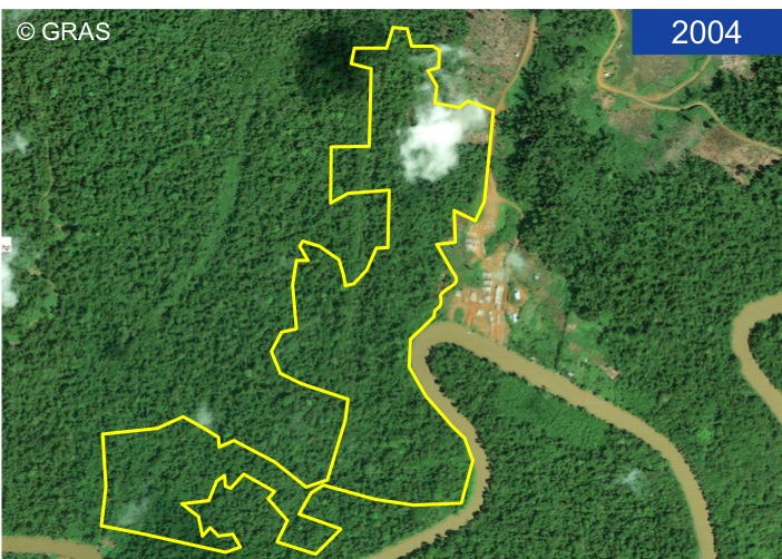
1) Heatmaps based on Landsat imagery show where and in which year land use change has taken place
2) Verification of land use change through greenness index time series (based on different sattelites, e.g. Landsat and MODIS). The index is called Enhanced Vegetation Index (EVI) and reflects the intensity of greenness of the observed vegetation. From one EVI image we can differentiate between bare soil and green cover. The pattern of different land covers and management systems differ over time so that significant changes in the pattern of time series indicate the point in time and the type of the land use change.
3) Visual verification by using high-resolution satellite imagery to double check the identified land use change.
For further information about the development of the GRAS LUC algorithm and EVI time series, please visit our methodology description here.
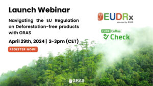
29 April 2024, EUDRx Launch Webinar: Navigating the EU Regulation on Deforestation-free Products with GRAS
GRAS conducted a comprehensive risk analysis in accordance with German Supply Chain Due Diligence Act (LkSG) for the members of the German Coffee Association

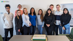
Let’s celebrate: GRAS has successfully launched the GRAS Tool+ for the next level of sustainability analysis
Events: GRAS presented at the Symobio 2.0 status conference
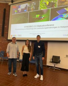
GRAS, a project member of Symobio 2.0, presented its progress in mapping crop-driven deforestation in Indonesia, Malaysia, Brazil, and the Brazilian state of Bahia.
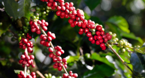
GRAS supports the German Coffee Industry in Complying with the German Supply Chain Due Diligence Law
GRAS innovative platform for palm oil risk assessment
Introduction to ARIA platform the new GRAS service for palm risk assessment.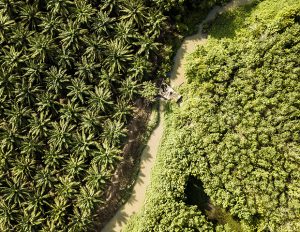
GRAS presents at the Food Security Standard (FSS) Due Diligence Webinar on the 29th of November 2022
GRAS is part of the Food Security Standard (FSS) Due Diligence Webinar Series, presenting solutions for companies to conduct risk analyses along the supply chain and the progress on the integration of food security criteria into the GRAS Tool.
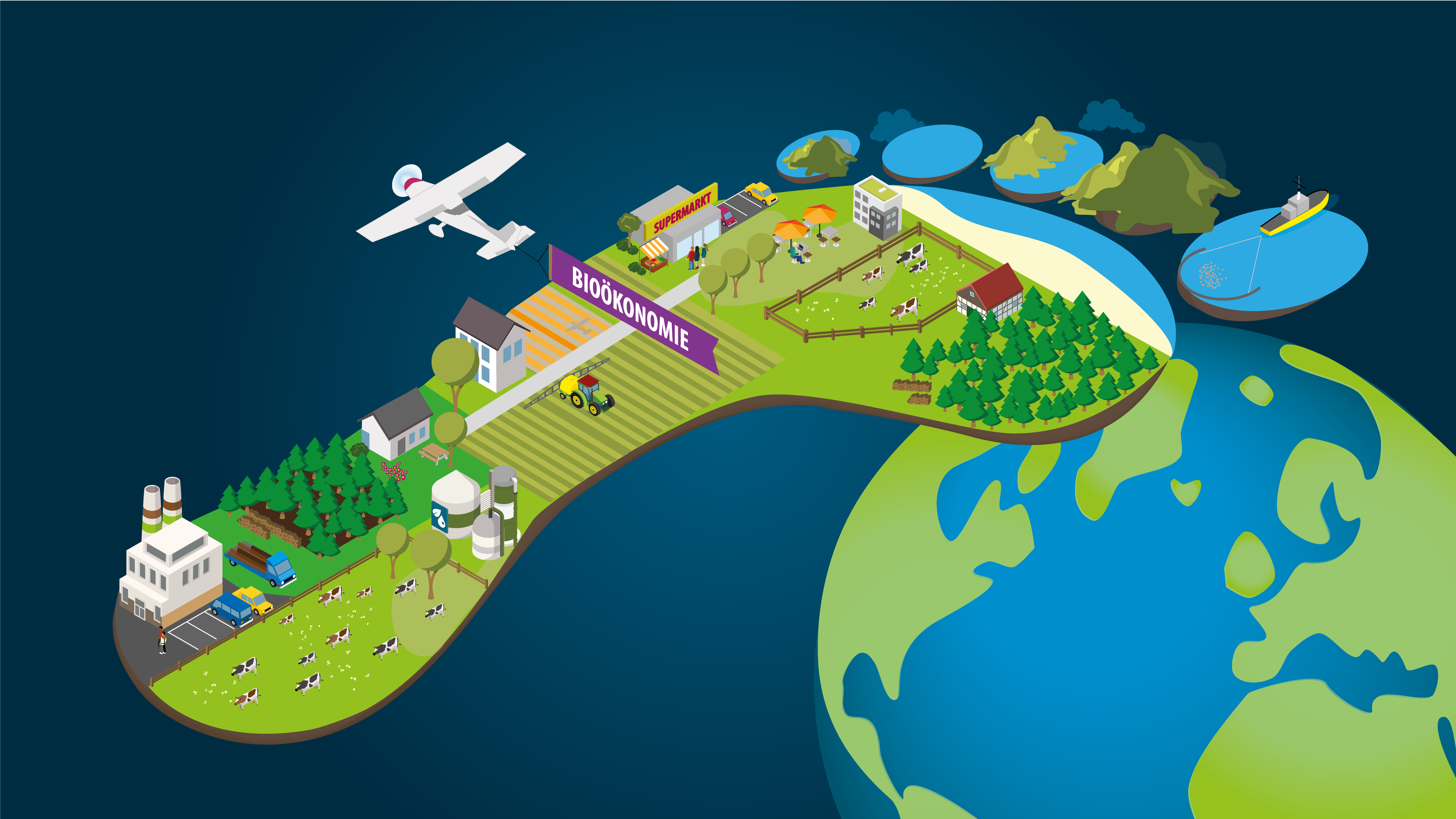
The Bioeconomy Monitoring Hub
21 Feb 2022 – The SYMOBIO research team is developing systemic monitoring – and a new website, which is being set up as a central platform for bioeconomy monitoring. GRAS will contribute with the expertise in Remote Sensing to the holistic picture of bioeconomy within this research project.
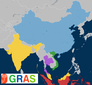
Explore dataset for China and India in the GRAS Tool
23 April 2020 – GRAS Tool is now available for 48 different countries providing relevant information on biodiversity, carbon stock land use change, social indices and fire. Explore the full range of functionalities and datasets within the GRAS Tool.
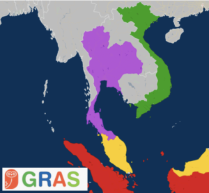
Thailand, Vietnam and Kenya now available in the GRAS Tool
12 Sept 2019 – Information on biodiversity, land use change, carbon stock and social indices are now available for a total of 46 countries. Access the GRAS Tool and explore its various functionalities and datasets.
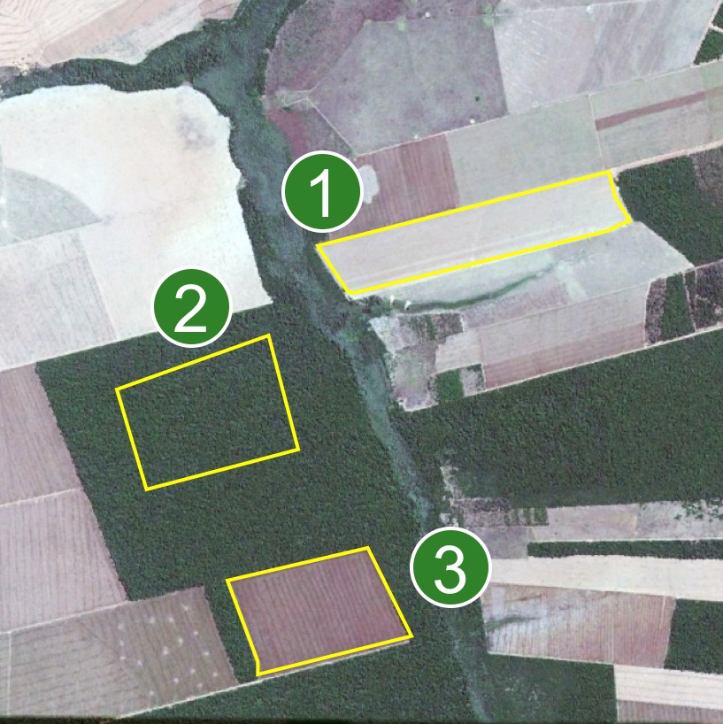
The pattern of the EVI time series indicate the land cover throughout the past years.

A change of the pattern at a certain point in time indicates the change of land use, e.g. from forest to annual crop.